Salon Command.
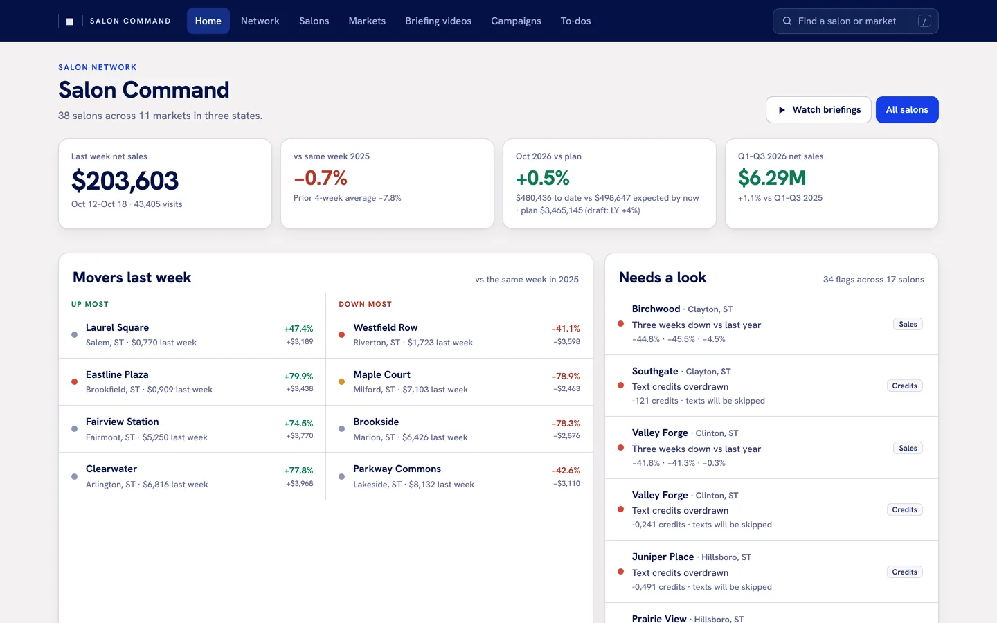
One place to see every location, built because none of the vendor back ends could.
The back ends were never enough.
A franchise with dozens of locations runs on several pieces of software at once: the point of sale, the marketing platform, the local-ads vendor, the planning workspace, the spreadsheets that fill the gaps. Each one has a dashboard. None of them can see the others, and the question an owner actually has (“which locations need me this week, and why?”) falls between them.
Salon Command is the answer we built for our own franchise. It pulls from every system automatically, keeps the history, and puts the whole network on one page.
Collects on its own. Scheduled jobs pull sales, visits, guests, staffing hours, messaging credits and ad performance from each vendor, every day, without anyone exporting a report.
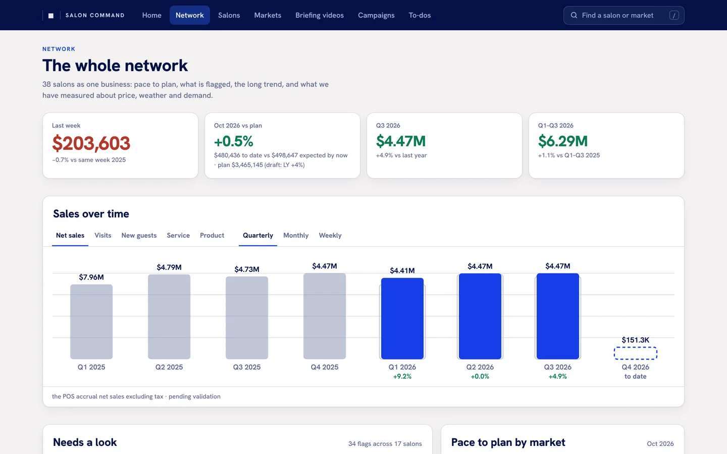
Keeps the history. Weekly, monthly and quarterly figures per location, compared with plan and with last year, so a bad week is read against its own pattern instead of in isolation.
Flags what needs a look. Rules run in the browser on load: several weeks down against last year, behind plan once enough of the month has passed, discounting out of line with the network, credits running low, a to-do that stalled.
Measures what the vendors can’t. Price changes, weather and local ads are tested against comparable locations that didn’t get them, with a noise band from running the same test on locations where nothing changed.
Gives every location a page. Managers, the scorecard with a network rank, sales over time, the map, nearby competitors and draws, open items and the source links behind each number.
The network as one business.
Two of the views. The system runs on internal data, so the names and numbers shown here are substitutes; the structure, charts and flags are the live product.
A static site that refreshes itself.
No app server. Data lands as JSON files, a scheduled workflow rebuilds them from the vendors and the planning workspace, and the site redeploys when anything changed. The maps are real street maps. Every location also gets a short briefing video, rendered from the same data.
If you run several locations on software that doesn’t talk to itself, the shape of this is reusable: automated collection, one history, flags with reasons, and a page per location. Demonstrations are arranged privately.
Have a project of your own?
Tell me who it’s for and what you’d like to make possible.